Get the District of Lunenburg Hike Badge!
 |
To qualify for the District of Lunenburg Hike badge, choose four hikes from the below list of six to complete in one year.
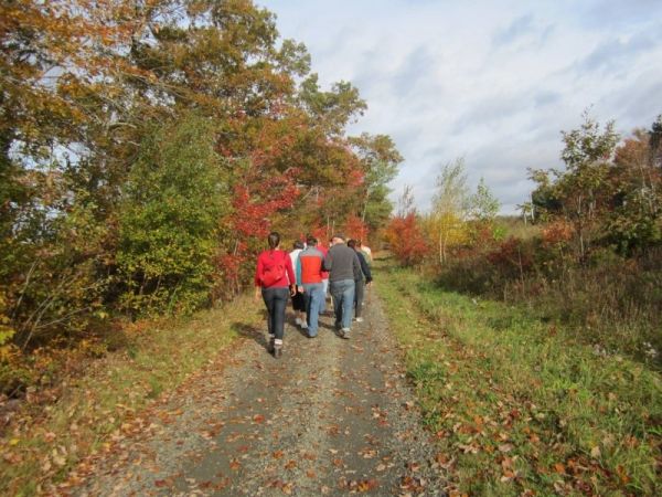
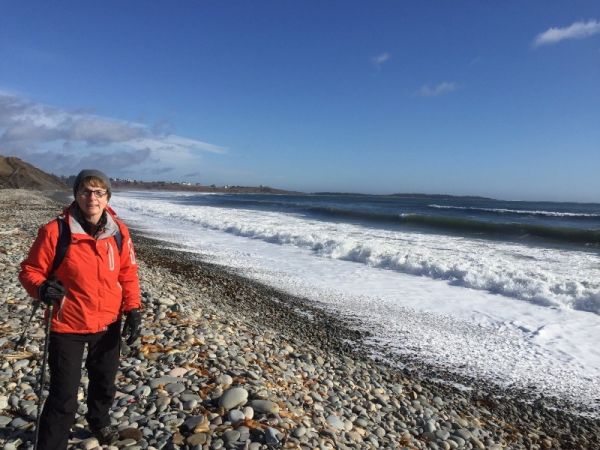
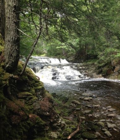
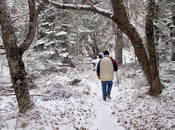
Customize your challenge with a total distance from 11 km to 30 km. Throughout this challenge, discover and explore the District of Lunenburg’s spectacular scenery including: ocean vistas, river falls, ocean and river lookouts, calm ocean basins and lush forests. You will find hiking trails that suit all levels of skill and ability to enjoy.
Contact: This email address is being protected from spambots. You need JavaScript enabled to view it., or call 902-541-1343
The first 100 completed challenges will receive badges…Free!
| HIKE | DESCRIPTION |
|
|
*NEW* Rhodenizer Brook Falls Hike ~ 3km |
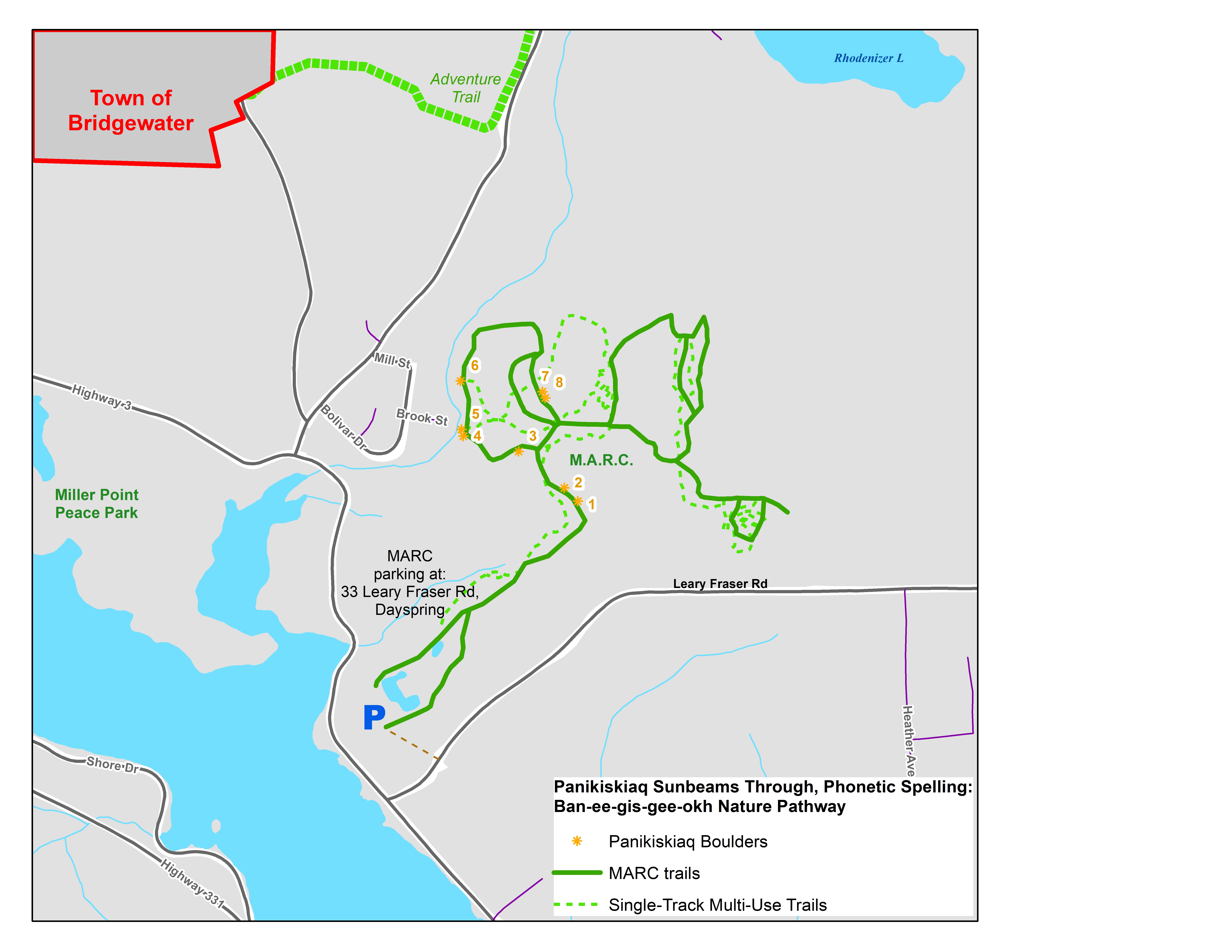
Start from the Municipal Activity Recreation Complex (MARC) parking lot, which is located off 33 Leary Fraser Road, Dayspring. This is a loop hike on an accessible trail through wooded forest to Rhodenizer waterfall. The trail also follows MODL's newly opened Panikiskiaq (Ban-ee-gis-gee-okh), "Sunbeams Through" Nature Pathway with carved boulders of native species and fauna.
|
 |
|
Gaff Point Hike ~ 8km |
Start from Hirtle’s Beach (from parking lot turn right) which is off Hirtle’s Beach Road in Upper Kingsburg. Gaff Point and Hirtle's Beach Hike is a loop trail that features a great forest setting with spectacular ocean views and is good for all skill levels. In 2002, the 124-acre property was designated as a protected coastline and wilderness area with the Nature Conservancy of Canada.
|
|
|
Indian Path Commons Hike ~ 6km |
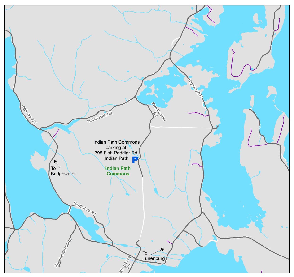
Start from Indian Path Commons parking lot, off the Fish Peddler Road in East LaHave. Indian Path Commons Hike is an out and back trail which features a lake and elevated look-offs and is good for all skill levels. The trail offers several loop routes for you to choose from.
pdf Download a copy of the map here. (1.67 MB)
|
 |
|
Dynamite Trail Hike from Martins River to Narrows Bridge ~ 4km or more |
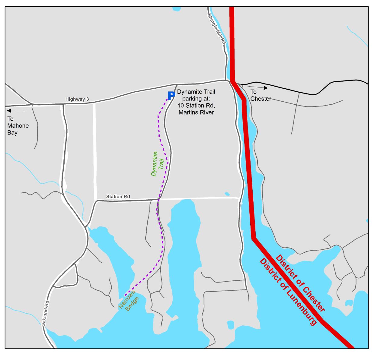
Start from the Dynamite trail parking lot off Station Road (across from Martins River Fire Department). Martins River to Narrows Bridge is an out and back hike through a forest of pine trees which leads to the Narrows Basin with a bridge over a sheltered ocean inlet; a nice place to stop to take a deep breath of the fresh coastal breeze.
pdf Download a copy of the map here. (1.37 MB)
|
 |
|
River Ridge Common Hike ~ 3km or more |
Start from the River Ridge Common parking lot off Highway 10 in Pinehurst. River Ridge Common Hike is a loop hike through wooded forest and a waterfall trail. River Ridge Common also has a natural playground, single-track mountain biking trails and connects with the South Shore Annapolis Valley.
pdf Download a copy of the map here. (1.28 MB)
|
 |
|
Lahave River Trail Hike ~ 5km or more |
Start from the Arthur Young Trail parking lot, off Highway 10 beside Best Western Plus, Cookville. The LaHave River Trail Hike is an out and back hike with a scenic look off and riverbank views of the meandering water through the forest.
pdf Download a copy of the map here. (1.52 MB)
|
 |
*All distances are return.
**Dogs are also able to use trails but must be kept on leash.
***Please follow Provincial Covid-19 Guidelines.
****For information on Hiking Safety, please use this link:
https://www.hikenovascotia.ca/resources-hiking-safety
For more information on the Hike Nova Scotia's Provincial hiker's challenge, please use this link: https://www.hikenovascotia.ca/projects-hiker-challenge/#cid=1331&wid=3101


